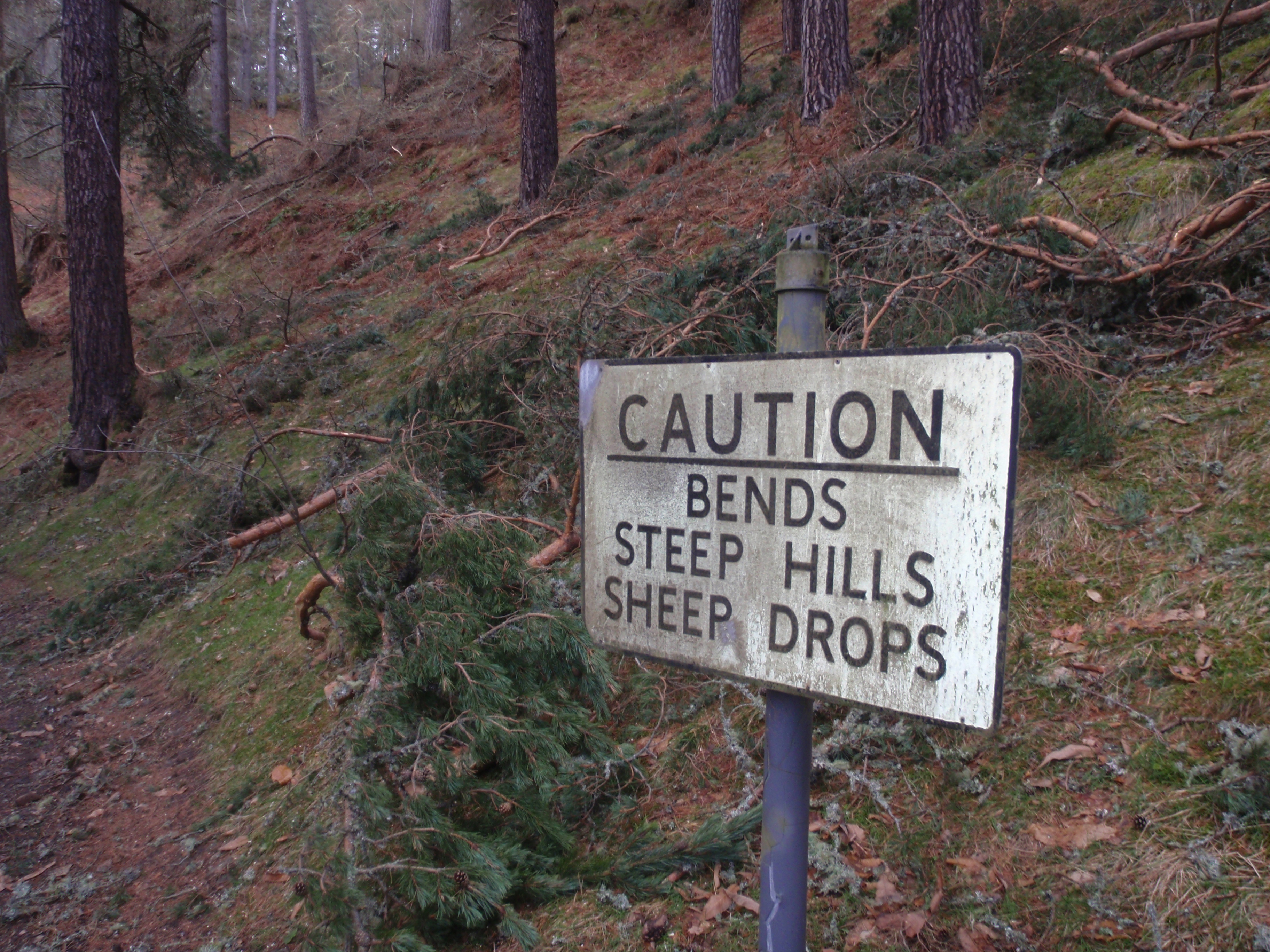
Carn nan Tri-tighearnan – I’m glad I’m writing that name, not saying it – is the highest point in a swathe of land bordered by the A9, the Moray Firth and the River Findhorn. It is a bleak, brooding and melancholic place. Think Kinder Scout without the crowds.
Once up on the high moor, the journey from Carn an Uillt Bhric, a 599-metre tump one-mile west of Carn nan Tri-tighearnan’s summit, was across a pathless maze of peat hags and pockets of snow. Apart from a trio of nervous mountain hares, I was quite alone. There was more activity in the skies, where a plane hidden by low cloud growled overheard, followed a few minutes later by the dull thud of a helicopter’s rotor blades.
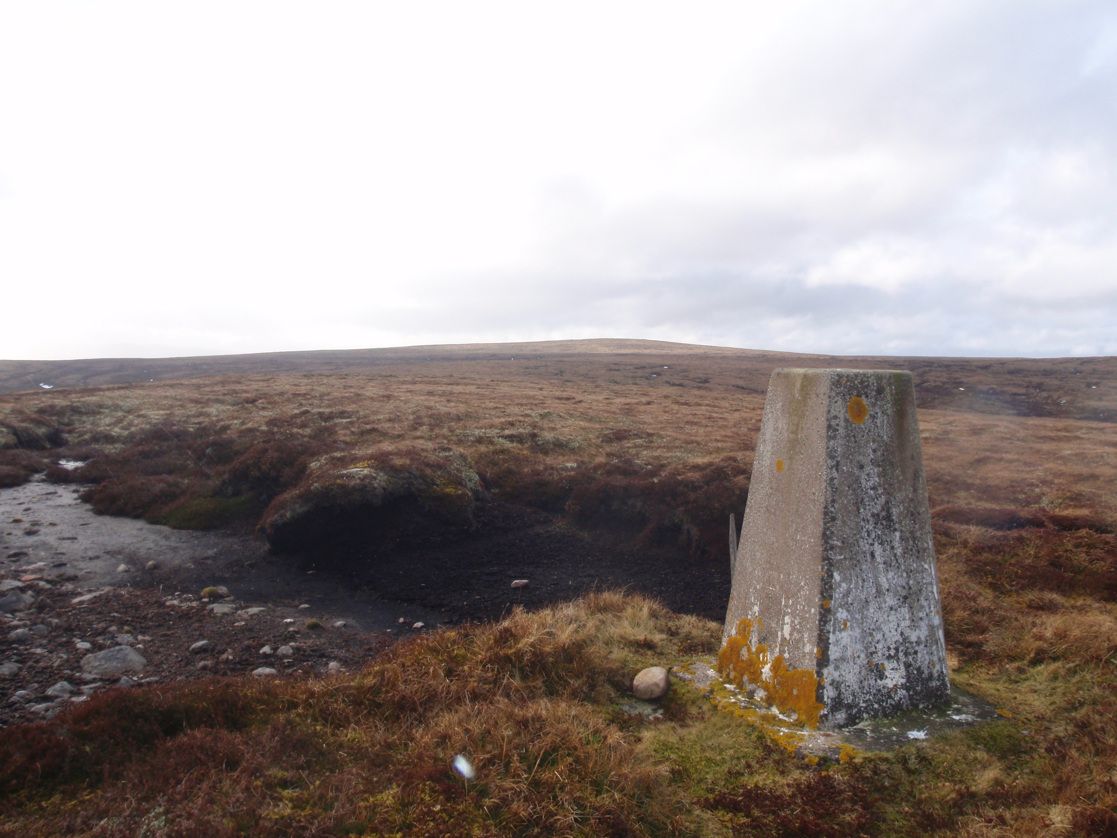
Nor is Carn nan Tri-tighearnan a good place to get lost. Even after I had reached the summit and could see the trig pillar of Carn an Uillt Bhric in the distance, the simple matter of retracing my steps was fraught with problems.
As soon as I dropped below the crest of a peat hag, I was effectively blindfolded, wandering in circles over terrain that has no distinguishing features. I was relieved to finally touch the trig pillar again and glimpse the reassuring meanders of the River Findhorn in the glen below. I was glad I came, but doubt I’ll be back.

